
Conquering Mount Santubong — Kuching’s Ultimate Hiking Challenge
-
When the triangular outline of Mount Santubong appears beyond the Damai road, I would decide early: a real climb, or only a rainforest morning? Both are possible, but confusing them is how a pleasant plan becomes a late, slippery retreat.
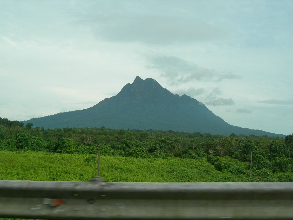
 Mt. Santubong seen from Santubong Bridge
The summit story has two layers. Santubong rises as a sandstone-and-shale mountain above the coast, while the legend of Princess Santubong and Princess Sejinjang turns its broken profile into a quarrel frozen in stone. On the route, rock, roots and exposed coastal views make both layers visible.
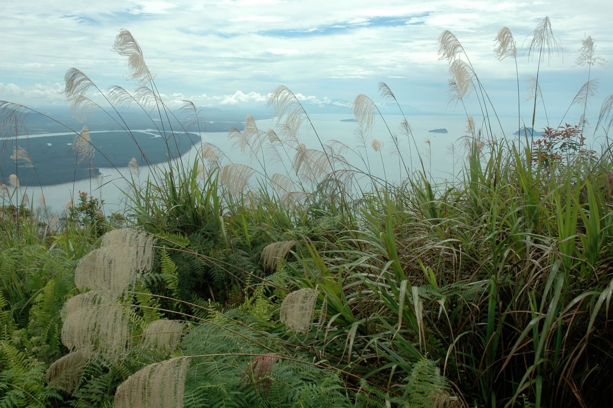
View from the summit — South China Sea and the Kuching coastlineFor the summit, reserve most of a daylight window and start early. After F7, ropes, ladders, roots and wet rock replace an ordinary trail; rain can make the descent the hardest part. The lower loop is a kinder choice for families or anyone wanting forest without the final scramble.
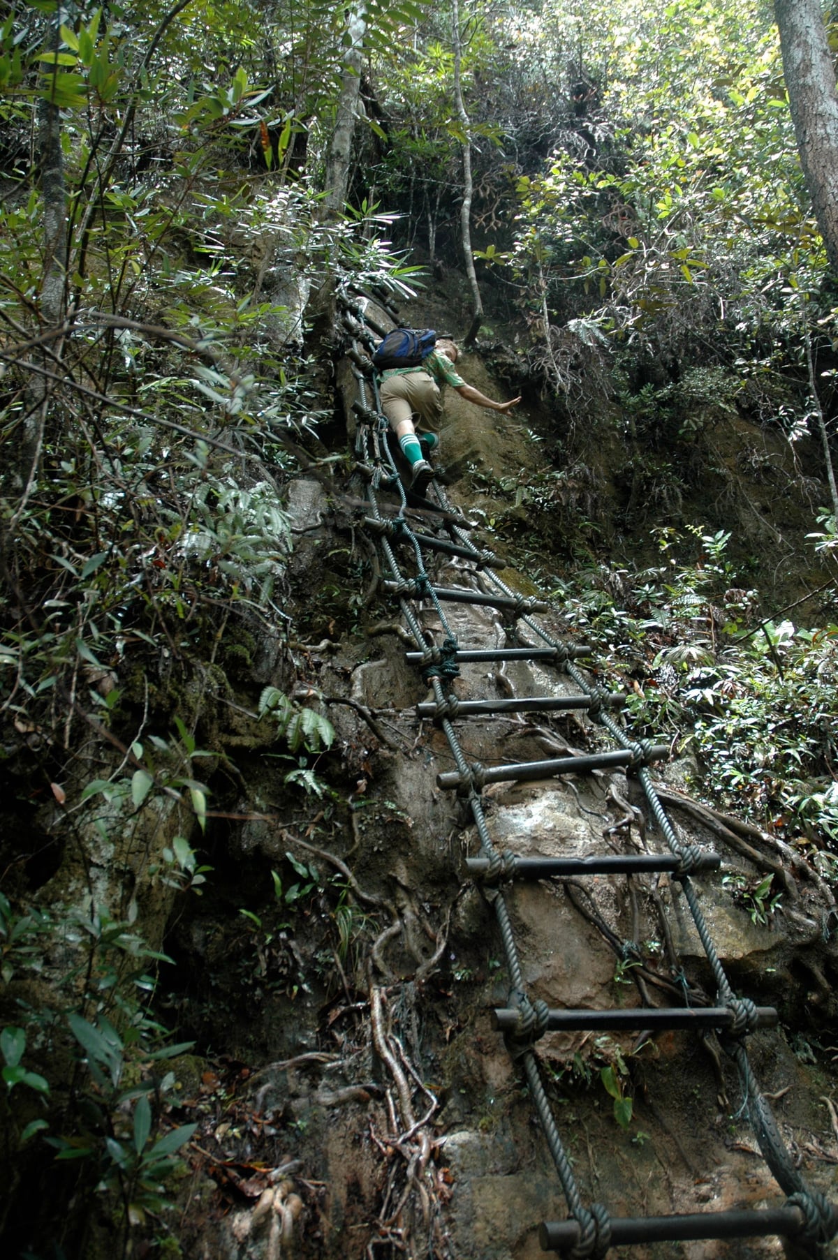
Ropes and ladders on the final pushFrom Kuching, allow 40–60 minutes by car to the Damai/Santubong entrance and arrange a return ride. Registration, fees, checkpoint rules, guides and last-entry times can change, so confirm the latest Forestry notice. Bring water, grippy shoes and a dry layer; a mountain view is not proof the trail is open.

Wetlands and coastline visible from the summitStrong walkers seeking a demanding coastal rainforest day will enjoy this distinctive challenge. Limited daylight, knee trouble or a dislike of ladders are good reasons to choose the lower route or nearby Damai instead. I would choose Santubong for its changing terrain and story, and turn back before tiredness makes the descent unsafe.
Hello! It looks like you're interested in this conversation, but you don't have an account yet.
Getting fed up of having to scroll through the same posts each visit? When you register for an account, you'll always come back to exactly where you were before, and choose to be notified of new replies (either via email, or push notification). You'll also be able to save bookmarks and upvote posts to show your appreciation to other community members.
With your input, this post could be even better 💗
Register Login